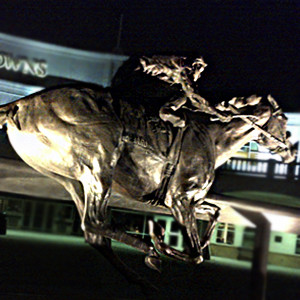
The spring annual meeting of the American Society of Photogrammetry and Remote Sensing (ASPRS) was held in Louisville Kentucky (It took me a few tries to get the local pronunciation Lewa-vul). I had the privilege of enjoying a traditional mint julep while touring the historic Churchill Downs, home of the Kentucky Derby, which is the longest running sporting event in North America.
At the convention, a long standing shortcoming for mapping in North America is finally being addressed. The ASPRS, after resting on the previous mapping standard for nearly 25 years, is modernising the mapping standards for both Photogrammetric and LIDAR mapping. The draft standards are nicely modern and do away with the archaic accuracy formula and are replacing it with a fairly simple table of pixel sizes and RMS values which we are all familiar with.
The standard is great because in each simple table they represent standards for different accuracy requirements which would be suitable for projects with different needs, such as engineering, mapping, or say forest resource. Any geospatial organization could consider simplifying their standards by just indicating (ASPRS Class 1, 2, 3… ). Canadians don’t have to worry, our American Brethren have adopted the metric system!
Adoption often does take time but in the meantime having a simple, flexible, and modern standard, should be a great asset to any organization considering procuring geospatial data.
Check out the draft standards:
http://www.asprs.org/PAD-Division/Map-Accuracy-Standards-Working-Group.html
